
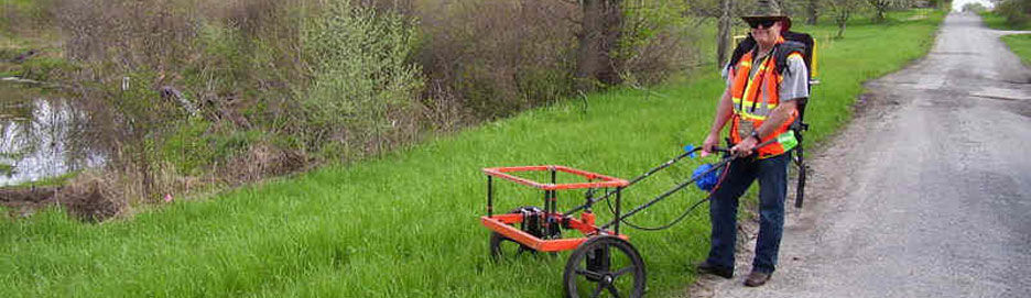
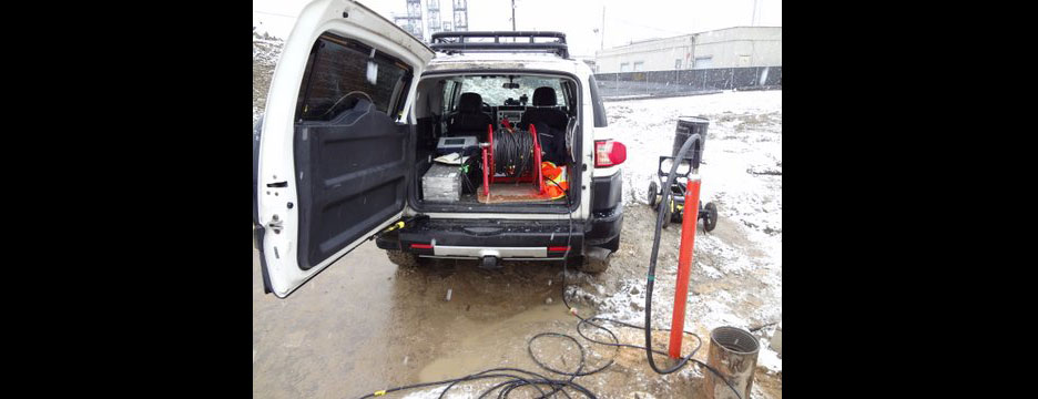
Borehole Logging
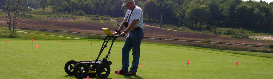
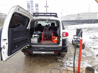 Borehole-geophysical logging can provide a wealth of information that is critical in gaining a better understanding of subsurface conditions needed for ground-water and environmental studies. Geophysical logs provide unbiased continuous and in-situ data and generally sample a larger volume than drilling samples.
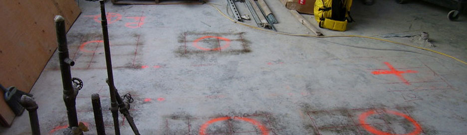
Delineation of Hydrogeologic Units
The different hydrogeologic units found in the subsurface display a wide range of capabilities to store and transmit ground water and contaminants. Borehole-geophysical logging provides a highly efficient means to determine the character and thickness of the different geologic materials penetrated by wells and test holes. This information is essential for proper placement of casing and screens in water-supply wells and for characterizing and remediating ground-water contamination.
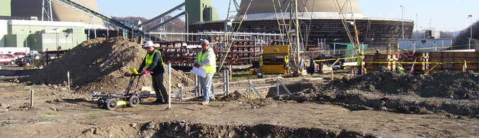
Definition of Ground-Water Quality
The quality of ground water is highly variable and ground-water contamination may be caused by man-made or natural sources. Integration of borehole-geophysics logging with water-quality sampling provides a more complete picture, whether the objective is to develop a water-supply well or remediate a contaminated aquifer.
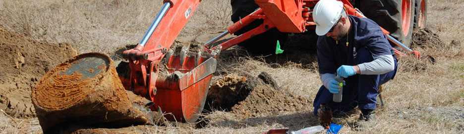
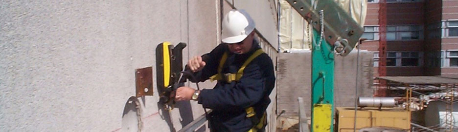
Determination of Well Construction and Conditions
Wells are the access points to the ground-water system, and knowledge of their construction and condition are important whether they are being used for ground-water supply, monitoring, or remediation. The location and condition of casing and screen can be rapidly evaluated with geophysical logging.