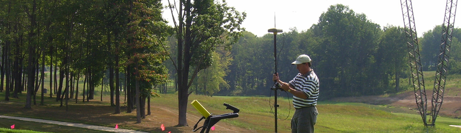
GPS & GIS Mapping
Geographic Information Systems Give Greater Depth of View and Understanding
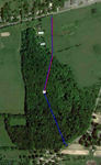
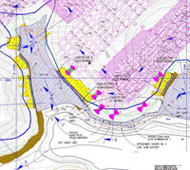
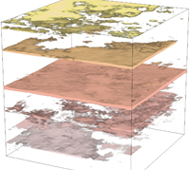
 GeoSearches offers a full range of geographic information systems and image processing services that help map, model, and analyze a geographic area.
We can view, understand, and interpret all forms of geographically referenced information using a combination of hardware, software, and data.
We use a wide range of geographic information systems:
- Mining
- Geological/Geostatistical Softwares
- CAD and Imaging Processing Software
- MapInfo Products
- ESRI ArcView Products
- AutoCAD
- Ermapper
- Didger
- Surfer
- Strata
- Rockworks
- Intrepid
- Corel
- Adobe Photoshop