Home › Geophysical services › Seismic surveys — refraction and reflection
04 / Seismic
Seismic surveys — refraction and reflection
Elastic waves measure how stiff the ground is, not just where the layers are — which is why seismic answers engineering questions the other methods cannot touch.
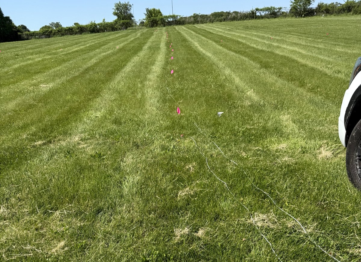
Refraction: depth and quality of rock
An impulsive source at surface sends energy into the ground; geophones along a line record when the first arrival reaches each one. Because velocity increases with stiffness, the travel-time curve resolves the thickness and velocity of each layer.
That velocity is not a by-product — it is often the deliverable. Rippability is assessed directly from P-wave velocity against the manufacturer's charts for the machine proposed, which is how an earthworks contractor finds out whether a cut can be dozed or has to be blasted before the price is fixed rather than after.
Reflection: structure at depth
Where the target is deeper than refraction will reach, or where a layer is hidden beneath a faster one, reflection imaging is the route — a processed section showing structure, faults and stratigraphy. It is more demanding to acquire and process, and we will recommend it only where the question genuinely requires it.
Shear-wave velocity and the building code
MASW and ReMi measure shear-wave velocity, which since ASCE 7-22 is the only accepted basis for assigning most seismic site classes. This has become one of the busiest things we do, driven largely by data center and large-footprint industrial work.
It has its own page: seismic site classification, MASW and ReMi →
Difficult ground
Seismic is the method least bothered by the conditions that defeat radar. Wet clay, saturated fill and conductive soil are irrelevant to an elastic wave. What does matter is noise — plant, traffic, wind on trees — and on live industrial sites the passive methods that use that noise as a source become an advantage rather than a compromise.
We acquire in mountainous and heavily vegetated terrain where wheeled equipment cannot go.
Equipment and capability
- Seismic refraction — layer velocity and depth
- Seismic reflection — 2D and 3D structure
- MASW — shear-wave velocity profiles
- ReMi — ambient noise, deeper Vs profile
- ASCE 7-22 / IBC site classification
- Rugged and mountainous terrain acquisition
What you receive
Velocity models and interpreted sections, layer depths and velocities tabulated, rippability assessed against the plant you intend to use, and for site class work a V̄s30 calculation and class statement your structural engineer can put straight into the permit set.
Ask before you commission
Tell us the target, the ground and the constraint and we will say whether this method answers it, whether it needs a second method alongside, or whether something else entirely is the better route. That conversation is free and it is usually short.