Home › Geophysical services › Borehole geophysical logging
09 / Borehole
Borehole geophysical logging
Where a hole already exists, log it. A single logged borehole can convert an entire surface survey from an interpretation into a calibrated measurement.
What logging adds
Surface geophysics gives you continuous coverage with uncertain depth. A borehole gives you certain depth at a single point. Logging is how the two are joined: the log provides the velocity, resistivity or density tie that anchors the surface model, and the surface model extends the borehole across the site.
Without that tie, depths from resistivity or seismic carry a genuine uncertainty band. With it, they usually collapse to something a designer can build on.
Which of them is available depends on the state of the hole when we arrive, and that window closes sooner than most projects expect — set out in our note on which log answers which question.
The standard suite
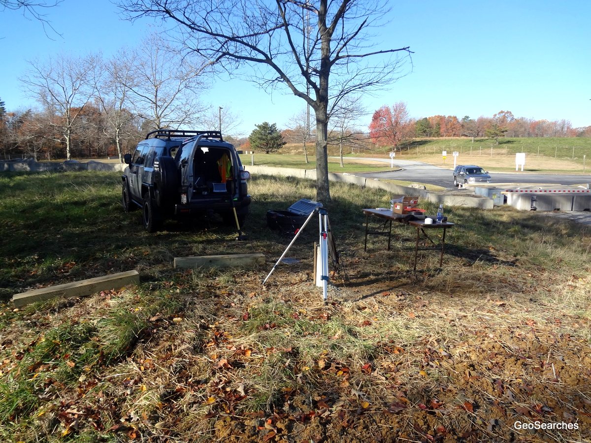
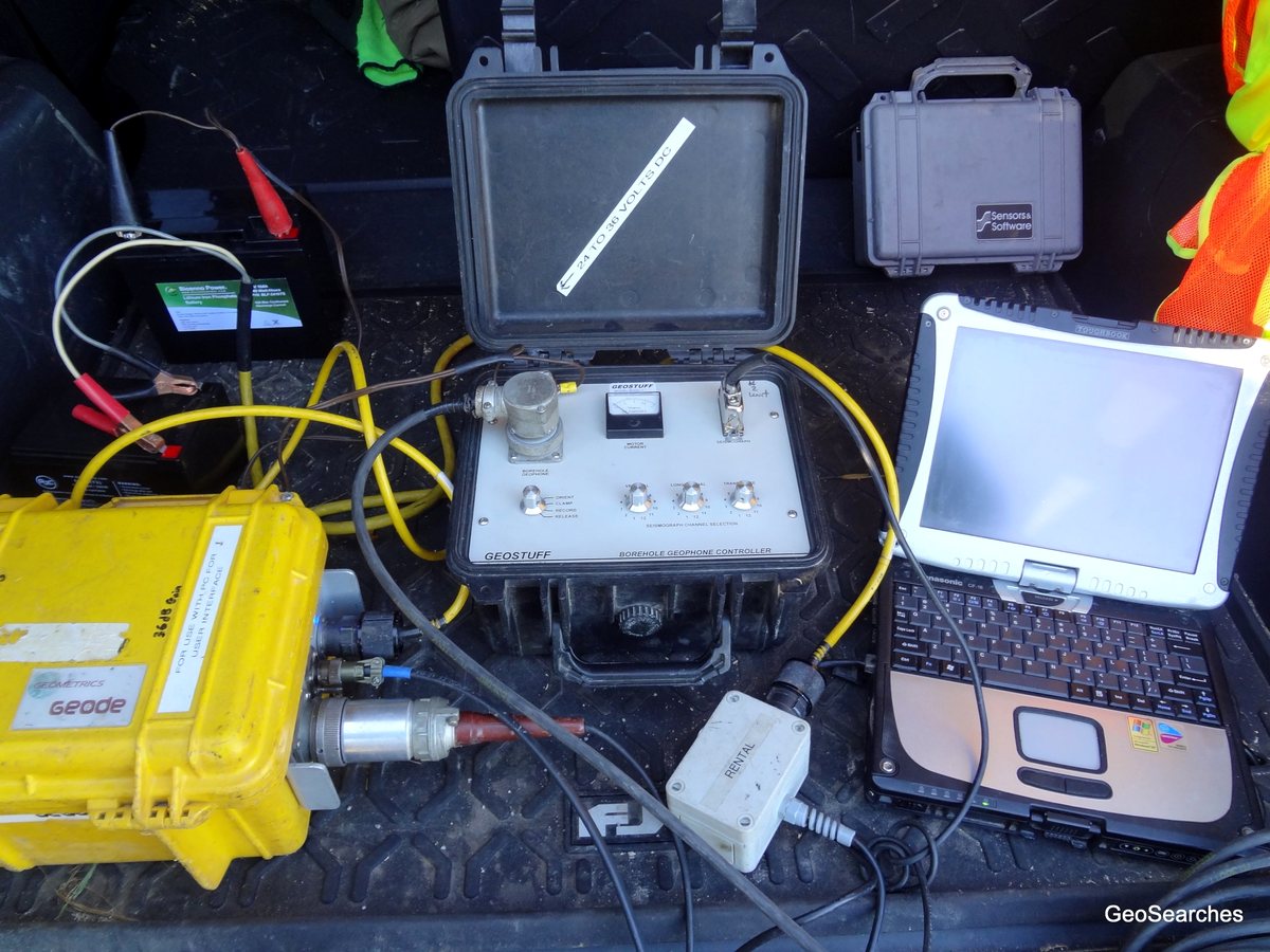
- Downhole seismic — a wall-locking geophone clamped at successive depths while a surface source fires, giving shear and compression wave velocity directly against depth. This is the velocity tie, measured rather than inferred.
- Natural gamma — responds to clay and shale content. Logs through steel or PVC casing, which makes it the one tool that still works in a cased hole.
- Resistivity and spontaneous potential — formation character, water quality changes, permeable horizons.
- Caliper — hole diameter against depth. Finds washouts, fractures and open voids intersected by the hole, and is essential before any other log is interpreted.
- Fluid temperature and conductivity — inflow zones and water quality stratification.
Downhole seismic and site class
Because downhole seismic measures shear-wave velocity directly against depth, it is an accepted basis for ASCE 7-22 site classification in its own right. Where a geotechnical borehole is being drilled anyway, logging it is often the cheapest route to a defensible Vs30 — and on constrained urban sites, where there is no room to lay out a surface array and the noise floor is high, it is sometimes the only route.
What we do not do
We do not drill. No drilling falls within our scope, on any project. We log holes that exist — yours, your geotechnical contractor's, or abandoned holes found on site.
That is a deliberate boundary and it is the same principle that governs our advisory work: we sell measurement, not the intrusive works that measurement might recommend. Nobody needs to wonder whether our findings were shaped by what we would be paid to do next.
Equipment and capability
- Existing and abandoned boreholes
- Downhole seismic — shear and compression wave velocity against depth
- Vs30 for ASCE 7-22 site class from a logged borehole
- Natural gamma, resistivity, caliper
- Fluid temperature and conductivity
- Formation and casing verification
- Depth to bedrock confirmation
- Correlation with surface data
- No drilling within our scope
What you receive
Depth-registered log traces, interpreted lithological column, and the explicit tie between log horizons and the surface geophysical model — shown as a joint section rather than two documents you have to reconcile yourself.
Ask before you commission
Tell us the target, the ground and the constraint and we will say whether this method answers it, whether it needs a second method alongside, or whether something else entirely is the better route. That conversation is free and it is usually short.