Home › Geophysical services › Magnetic surveys
05 / Potential field
Magnetic surveys
A passive method that needs no source and no ground contact. If the target contains iron or steel, magnetics will usually find it faster and cheaper than anything else.
What it measures
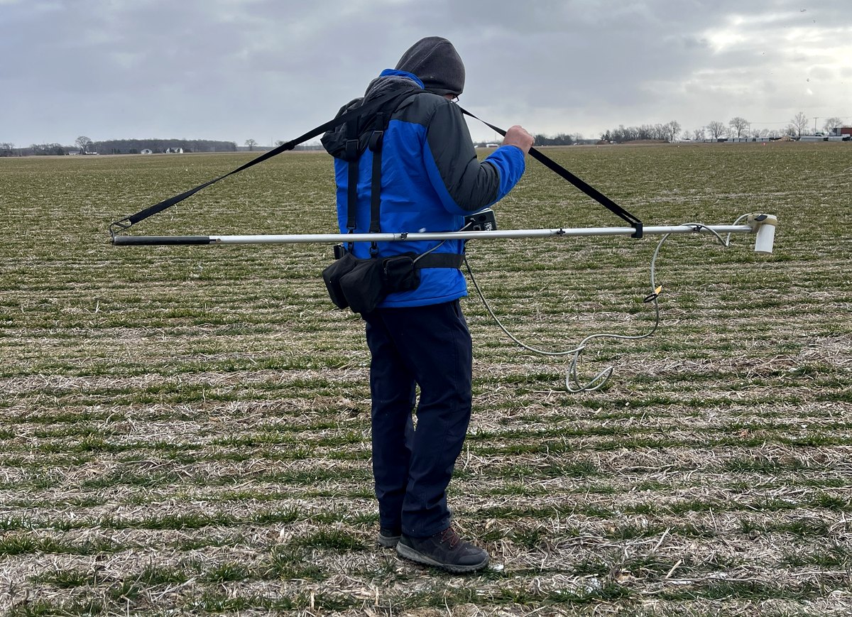
Ferrous objects distort the Earth's magnetic field locally. A magnetometer maps that distortion. A gradiometer — two sensors at fixed vertical separation — measures the difference between them, which cancels the daily drift of the Earth's field and sharpens the response to shallow targets enormously.
The method is entirely passive. Nothing is injected, nothing touches the ground, and coverage rates are high: a crew can walk many acres a day on a tight line spacing.
What it finds
- Drums, tanks and buried steel on former industrial and disposal sites.
- Abandoned oil and gas well casings — now a major workload for renewable energy developers, and covered separately on its own page.
- Ordnance and munitions on former ranges and defense land.
- Mine shafts and workings, where steel headgear, rails or infill remain.
- Archaeological features — hearths, kilns, ditches and fired material carry a thermoremanent signature.
What it will not tell you
Magnetics sees iron and nothing else. A PVC pipe, a concrete duct bank, a plastic tank or a clean air-filled void is invisible to it. Cultural noise is the practical constraint: fences, rails, vehicles, reinforced slabs, overhead lines and buried services all generate responses larger than the target, and on a congested site the method may simply not be usable.
Depth from magnetics is an estimate derived from the shape of the anomaly, not a measurement. Where depth matters we confirm with a second method.
Equipment and capability
- Total field magnetometry
- Vertical gradiometer arrays
- Buried drum, tank and ordnance search
- Abandoned well casing location
- Mine working detection
- GNSS-positioned continuous acquisition
What you receive
Gridded total field and gradient maps with anomalies picked, numbered, positioned to survey grade and ranked by confidence, with estimated depth and mass class where the anomaly shape supports it.
Ask before you commission
Tell us the target, the ground and the constraint and we will say whether this method answers it, whether it needs a second method alongside, or whether something else entirely is the better route. That conversation is free and it is usually short.