Home › Geophysical services › Cemetery and grave location
Applications
Cemetery surveys and unmarked grave location
Burials outlast the records that describe them, and usually the markers too. Radar finds the graves that are no longer visible — without excavation, and without disturbing anyone.
What radar actually finds
It does not find bodies. It is worth being plain about that at the outset, because a good deal of what is said about this work is not.
What radar detects is the disturbance a burial leaves in the ground. Digging a grave shaft cuts through natural soil horizons and the backfill never reassembles them; that truncation and the disturbed fill above it both reflect differently from the undisturbed ground either side. Where a coffin or vault existed there may be a void, a partial collapse, or the remains of a lid. Where a shaft has compacted over a century there may be a subtle settlement profile.
A grave read on radar is therefore a shaft-shaped anomaly in the right orientation, at the right depth, with the right dimensions, consistent with its neighbours. That is a strong inference. It is not a sighting, and the deliverable should never describe it as one.
What the work is usually commissioned for
- Unmarked graves inside a known cemetery — where stones were wooden, were removed, or never existed, and the burial register is lost or was never kept.
- The boundary problem — establishing whether burials extend beyond the fence, the wall or the mown area. They very often do, and that is the finding that changes what can be built, mown, ploughed or sold.
- Plot verification before interment — confirming a plot is genuinely empty before a grave is opened.
- Pre-development due diligence — on a parcel with a documented or suspected historic burial ground, before anybody puts a machine in the ground.
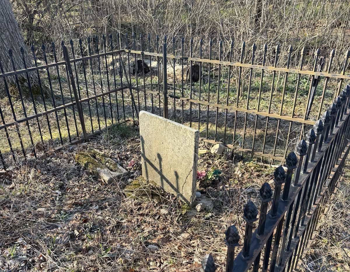
- Family and homestead plots — the small enclosures on private land whose extent nobody now knows, often with a handful of legible stones and an unknown number of graves around them.
- Erosion and relocation — where a shoreline, river bank or roadworks is advancing on a burial ground and somebody has to decide what is at risk.
How it is run
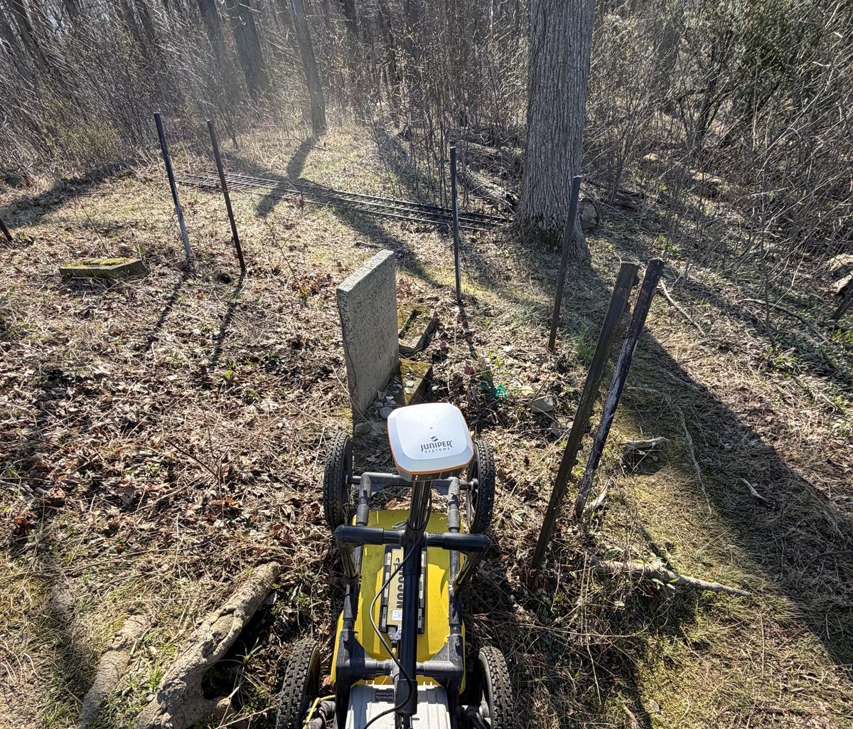
Grave detection lives or dies on line spacing. A grave shaft is narrow, and a survey walked on two-foot lines will step over graves and report a tidier site than the one you have. We collect on tight spacing — typically a foot or less — in a full grid, and orthogonally where ground and vegetation allow, because a shaft that is ambiguous along one axis is often obvious across it.
Antenna choice is a compromise rather than a preference. Higher frequency resolves the shaft edges better and reaches less deep; lower frequency reaches historic depths in heavy soil and blurs the detail. We calibrate velocity on site rather than assuming it, because every depth we report depends on it.
Everything is positioned by GNSS or total station and tied to permanent features. A grave located and not surveyed is a grave that will be lost again.
Where radar struggles, and what we run alongside it
Heavy wet clay attenuates the signal badly and can make a historic burial depth unreachable. Highly disturbed ground — a site that has been landscaped, filled or ploughed — produces so much shallow structure that the grave signal is lost inside it. Tree roots, rubble and modern services all complicate a small plot.
Where radar alone will not carry the answer, magnetics responds to coffin hardware, iron fencing and buried marker fragments, and resistivity responds to the moisture contrast of disturbed fill on a quite different physical basis. Agreement between two methods over the same anomaly is considerably stronger evidence than a confident statement from one.
What we will not claim
We cannot confirm that human remains are present. We cannot date a burial, establish identity, determine age or ancestry, or reliably count individuals where graves overlap or a shaft holds more than one person. Infant and child burials are small, shallow and frequently invisible. A cleared area is not proof that nothing is there; it means nothing was detected, and on difficult ground those are different statements.
Every deliverable we issue says which of those limits applied on that site. Anyone who omits that section is selling certainty they do not have, on a subject where the cost of being wrong is not measured in money.
Working on burial ground
This work is non-intrusive in the full sense: nothing is excavated, nothing is probed, nothing is moved, and the survey leaves the ground exactly as it was found. That matters practically, and it matters to descendant families, congregations and communities who are often the reason the work is happening at all.
Where a project involves descendant communities, a tribal nation, or a site with legal protection, we work to whatever consultation process the client and those communities have agreed, and we are content for findings to be reported into it rather than published.
Where we have done it
Equipment and capability
- Radar grids on one-foot and tighter line spacing
- Orthogonal collection where ground conditions allow
- On-site velocity calibration, not assumed values
- Magnetic and resistivity survey as corroborating methods
- GNSS and total station positioning tied to permanent features
- Cemetery boundary and extent determination
- Plot verification before interment
- Nothing excavated, probed or disturbed
What you receive
A plan showing every probable grave shaft, positioned and oriented, each ranked by how confidently it reads as a burial rather than ambiguous ground — with the basis stated. The radar data behind the interpretation, so it can be checked rather than taken on trust. The conditions and limits that applied on the day. And where the question was about the boundary, a line on a drawing that a surveyor, a trustee or a planning authority can actually use.
Ask before you commission
Tell us the target, the ground and the constraint and we will say whether this method answers it, whether it needs a second method alongside, or whether something else entirely is the better route. That conversation is free and it is usually short.