Marcellus Shale Oil/Gas
Marcellus/ Utica Shale Oil and Gas Infrastructure Solutions
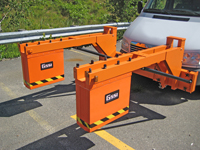
Road blocks cost money.
 By its very nature, infrastructure maintenance is intrusive and results in disruption to essential services that support the economy. Little to no public appreciation is given to the operations that impede the level of service of infrastructure; however, any mitigation of this disruption is rewarded by significant reductions in economic loss. GeoSearches Inc offers a non-invasive solution that can significantly reduce incidentally costs due to traffic congestion, interruption of services, restricted access and delays, for which the financial impact often far outweighs the cost of the maintenance.
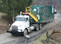
The most visible impact is on township roads and county bridges, as developers bring construction equipment and supplies (especially stone for drilling pads and water import and waste water export) to and from the site. Existing bonding requirements are inadequate for township roads, and unavailable for county bridges. And this additional traffic creates previously unheard-of congestion on our smaller municipal roads and town streets.
Existing pipelines are inadequate to handle distribution of a gas resource as large as the Marcellus Shale. Distribution will require new facilities, new processing and transporting equipment, and new pipelines--partly because much of the gas will be sent outside of the area. All of these matters will affect Ohio, Pennsylvania and West Virginia.
 Municipalities need to plan for the long term effects of the Marcellus Shale natural gas drilling equipment on roads.
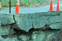
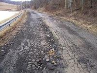
Heavy trucks carrying drilling equipment and tankers carrying water to and from the site use state highways and township roads. Heavy trucks cause potholes and break pavement, especially along the edges. Heavy trucks on gravel roads raise enough dust to change air quality. Municipalities can work with drilling companies to minimize long-term effects and to address traffic congestion, road damage, and dust.
The Solution
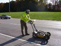
Highway professionals, engineers and transportation departments require a safe, reliable and non-destructive method to evaluate roads for pavement preservation, planning and rehabilitation. Ground penetrating radar offers users a quick and effective way to determine pavement layer thickness. GPR can evaluate base and sub-base layers with data collection densities not obtainable by traditional labor-intensive methods, such as coring.
Depending on the size of and requirement of the project differing approaches can be taken.
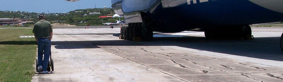
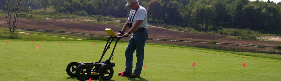
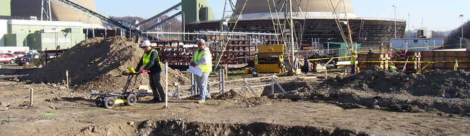
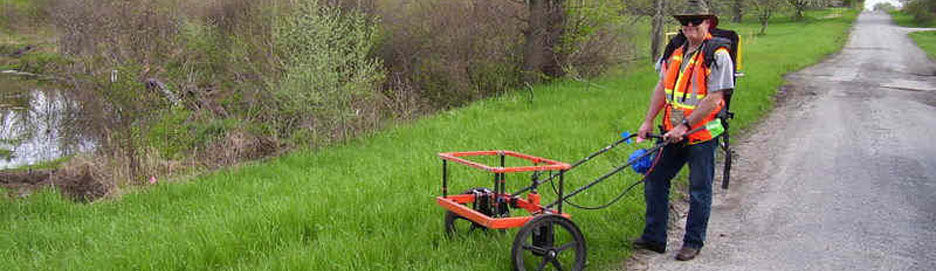
 If the area is small and road access is able to be gained it may be more beneficial to use a hand walked instrument deployment.
However if the area is large and data collection needs to be done with minimal road disruption a trailered system may prove more useful.
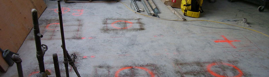
Data is collected from a section of road, is correlated, processed and interpretations made. Construction layers can be traced, services highlighted and changes in construction noted. All of the features highlighted are able to be superimposed onto data profiles, see images below, for final interpretations.
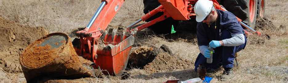
GPR sees widespread use for locating buried pipes and cables. The unique ability of GPR to detect non-metallic as well as metallic structures provides a distinctive locating capability. GPR can be deployed in simple 'locate and mark' mode for rapid on-site solutions.
 Road pavements and sub-base materials provide unique opportunities for using GPR. GPR's ability to penetrate asphalt and concrete pavements and detect and delineate subsurface structure delivers invaluable information for asset management and maintenance planning. Being able to ascertain the construction practice, determine pavement thickness and locate variations in the base coarse leads to informed maintenance and repair expenditures.
When investigating the asphalt thickness along roads it is important to have a small and easily set-up system, which can be used on an ordinary car and in speeds following the traffic rhythm. If the GPR system is mounted on a trailer the maximum survey speed will be lower, and most often some kind of safety arrangement will be needed. With increasing demand on the world’s infrastructure, the need for evaluating new and existing roadways is becoming even more important. Coring is locally accurate, performed at wide intervals, intrusive, labor intensive and time consuming (i.e. not very cost effective). Knowledge regarding pavement and subgrade thickness, along with internal structures masked by overlying layers, can be crucial information for both maintenance and design of our aging roadways. Ground penetrating radar (GPR) provides a rapid method for providing this important information.
Road blocks cost money. Better to be invisible
 By its very nature, infrastructure maintenance is intrusive and results in disruption to essential services that support the economy. Little to no public appreciation is given to the operations that impede the level of service of infrastructure; however, any mitigation of this disruption is rewarded by significant reductions in economic loss. GeoSearches Inc offers a non-invasive solution that can significantly reduce incidentally costs due to traffic congestion, interruption of services, restricted access and delays, for which the financial impact often far outweighs the cost of the maintenance.